Across the Isle of Wight stand abandoned churches, ruined abbeys, forgotten manor houses and folklore of vanished settlements. Yet one corner of the Island seems never to have been forgotten, except its name.
Missing on Modern Maps
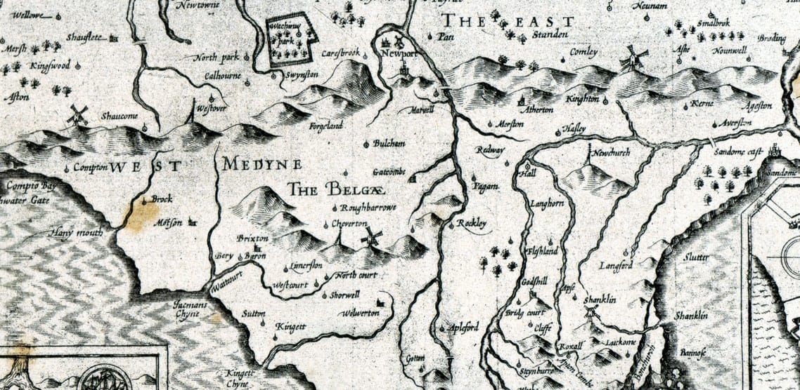
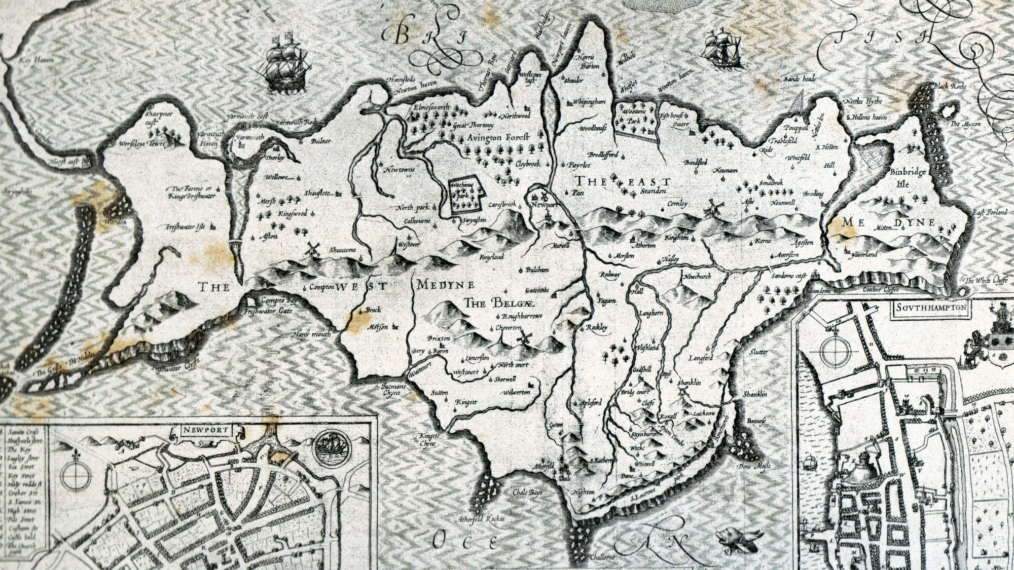
On a 17th-century map of the Isle of Wight, the countryside south-west of Carisbrooke is identified simply as "The Belgae."
Today the name has disappeared from common use, but the landscape remains. Within it lie some of the Island's oldest surviving houses and manor estates. Prehistoric burial monuments stand nearby.
Bronze Age barrows crown the ridges. Ancient settlements once occupied its valleys, one only just remembered can be found in Gallibury in the Bowcombe valley.
Generation after generation chose to live here.
Why?
Who Were the Belgae?
According to Julius Caesar, the Belgae were a Celtic people who settled parts of southern Britain shortly before the Roman period. By around 50 BCE they had established themselves across Hampshire and on the Isle of Wight.
Yet the Belgae did not create this landscape.
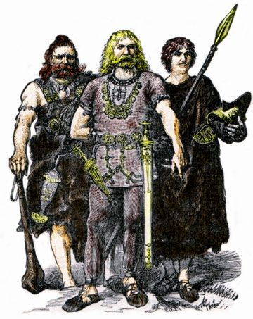
When they arrived, the Longstone at Mottistone was already ancient. The barrows above Brighstone older than anyone could remember. The valleys and trackways were known and trodden for centuries by countless generations whose names have long since vanished.
The Belgae inherited a landscape already ancient. They did not found the place remembered on the map. They were simply the first people whose name survived.
That possibility raises an unexpected question.
Why did so many peoples choose the same area of countryside?
The Ancient Route
A map of the western half of the Island presents a broad natural route that runs from the north-west towards the south-west.
From the Gurnard area it passes through Gunville and Carisbrooke, follows the Bowcombe valley towards Shorwell and continues towards the southern coast.
The chalk downs form barriers elsewhere. The Western Yar and Eastern Yar valleys tend to draw movement north and south. Yet the Bowcombe and Shorwell corridor offers one of the gentlest crossings through the centre of the Island.
Even today the route feels natural.
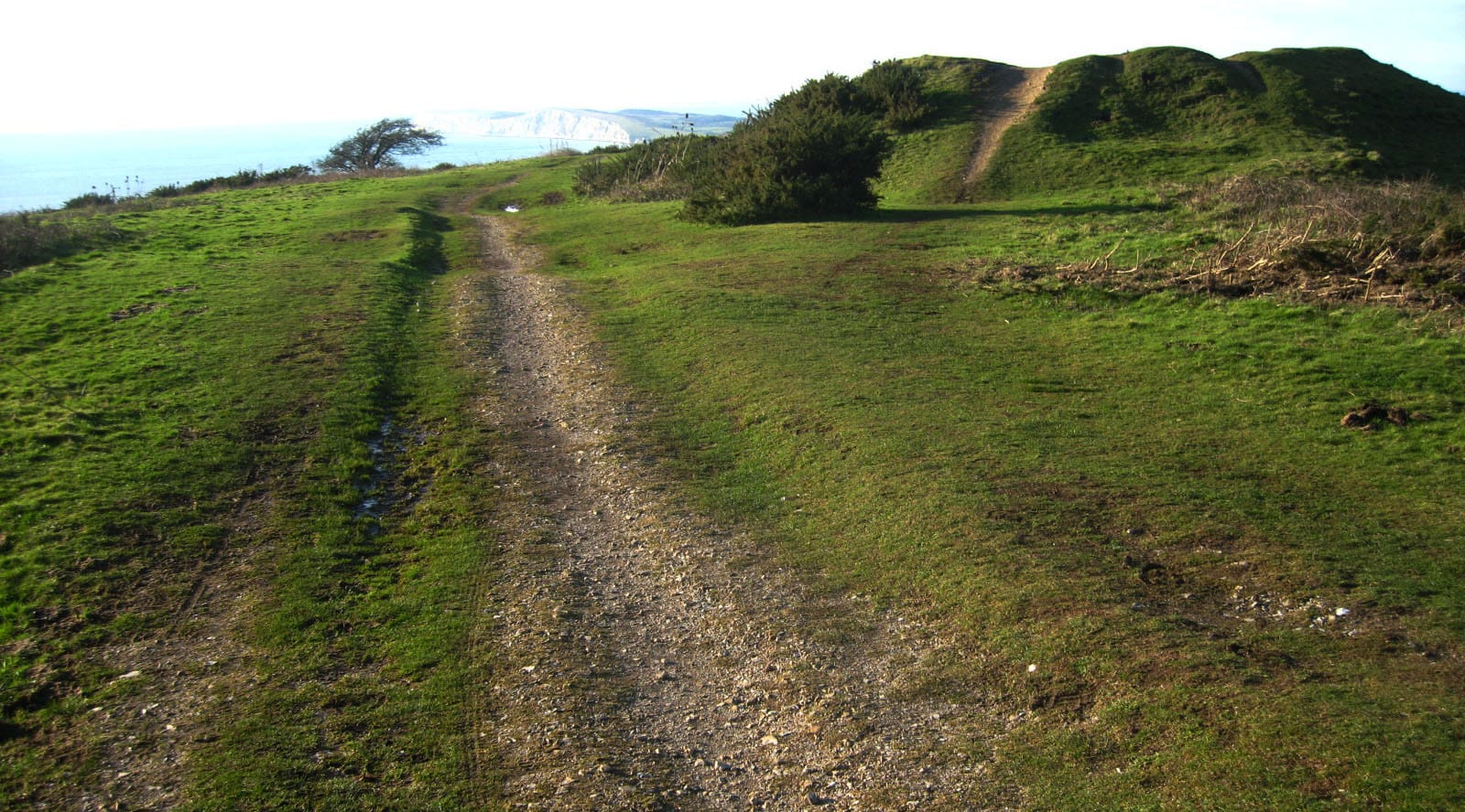
If people repeatedly needed to move livestock, goods or themselves across the Island, geography alone could explain why the corridor remained important.
But geography may not be the entire answer.
A Landscape Older Than Its Name
The oldest surviving name for the district may be "The Belgae" but the landscape is far older.
The Longstone dates back to the Neolithic period, roughly contemporary with the earliest phases of Stonehenge and the age of the Egyptian pyramids.
By the time the Belgae arrived, the monument was already around 2000 years old.
The same is true of many of the barrows overlooking the valleys. This means the Belgae entered a countryside that already possessed a long history of settlement, burial and movement.
The mystery shifts from who first lived there, to how far back the story goes.
A Short History of a Long Road
Following the end of the last Ice Age, hunter-gatherers moved through landscapes that looked very different from those we know today.
The sea stood lower. Britain was not yet entirely separated from continental Europe. Rivers, ridges, freshwater sources and animal migration routes guided movement across the land.
Repeated journeys, not roads.
When farming arrived in Britain around 4000 BCE, the first agricultural communities did not enter an empty landscape. They inherited a countryside already explored and understood by earlier peoples.
Existing routes remained useful.
Farmers needed access to grazing, water and neighbouring communities. Later Bronze Age traders needed reliable paths through familiar territory. Iron Age settlers and Roman travellers often followed routes already established by those who came before them.
Across Europe many roads become older the further back they are traced. A Roman road may follow an Iron Age trackway. A trackway that may follow a Bronze Age route.
That follows a pathway first walked thousands of years earlier.
Its purpose changes but the route survives.
Gallibury
North of Shorwell lie the remains of an ancient settlement known as Gallibury.
Victorian investigators discovered numerous dwelling pits spread through the valley. Their findings suggested a substantial community occupied the area long before written history reached the Island.
Whether their interpretations were entirely correct matters less than the broader picture. Gallibury is not an isolated site.
The settlement sits within a landscape that contains prehistoric monuments, burial sites, later Celtic occupation, medieval manors and modern villages. Evidence of human presence appears repeatedly across thousands of years.
That degree of continuity is unusual.
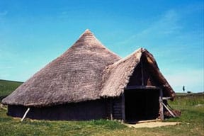
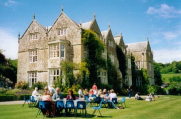
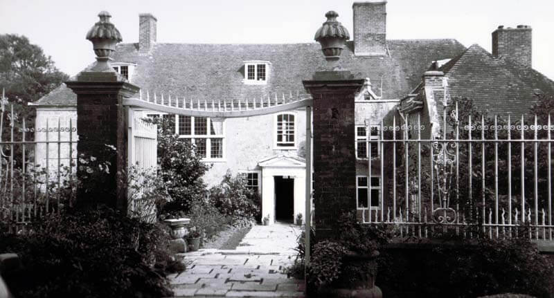
Left, Celtic hut possibly similar to the pit village uncovered in Gallibury. Right, Northcourt House, Shorwell
Few places on the Isle of Wight display such a concentration of evidence spanning the Neolithic period, Bronze Age, Celtic occupation, medieval settlement and the present day.
The Mystery
Was the Belgae Corridor an ancient road? It certainly has a concentration of history around it.
The Longstone. The barrows. The Gallibury Celtic settlement. Many medieval manors, and so many picturesque villages.
For perhaps 5000 years people have repeatedly chosen this same landscape.
The practical reasons are obvious enough. Fertile land and good grazing. Fresh water springs and easy movement across the Island.
Yet practical reasons alone do not fully explain the persistence of human attention. The Belgae gave their name to this district, but didn't create it.
We know who the Belgae were, we just don't know why so many peoples before and after them chose the same ground.
Did successive generations simply rediscover the same geographical advantages?
Or were they inheriting knowledge of a landscape whose importance had already been remembered for thousands of years?
The answer has been lost, but the route remains.
A faint thread stretching from the first Islanders to the present day.
 Nick Hammond
 Nick Hammond